At Shot Scope we want to continuously offer golfers products and updates that enhance the playing experience of every player.
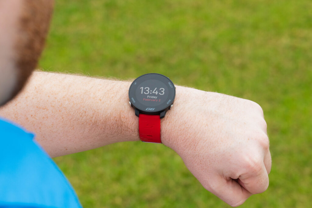
We have recently released full course aerial maps and this feature is now available to all Shot Scope users via the Shot Scope app. If you own a Shot Scope watch, handheld, or laser rangefinder you can now get access to aerial maps.
There are two different map modes available, GPS and Preview – the two options are explained below.
What is the difference between GPS mode and Preview mode?
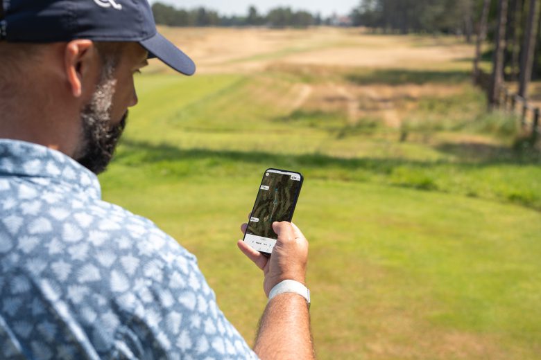
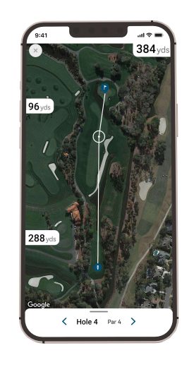
GPS mode allows current Shot Scope users to view an overhead/aerial map of the course whilst they play. The GPS distances update as the golfer moves around the course.
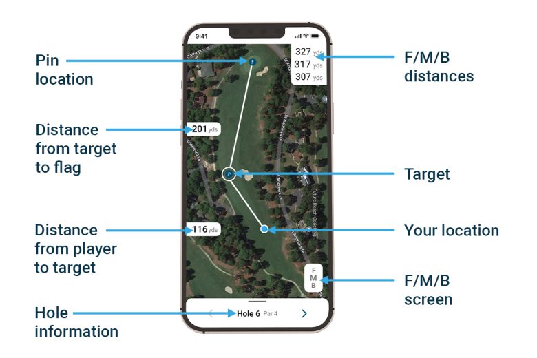
In addition, golfers will be able to measure to any point on the course by simply pressing the circle icon (See image) and dragging it to their desired location. This allows for players to measure distances to hazards, layup points, and doglegs as well as receiving accurate yardages to the front, middle, and back of every green.
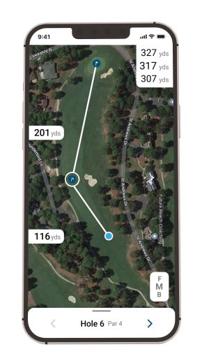
Preview mode allows golfers to view any course regardless of their location and access a bird’s eye view of every hole. Use this to plan your round before you play and devise a strategy to give yourself the best chance of playing well.
In this mode you will not be able to access front, middle, and back distances to greens. However, you can measure to points on the course by tapping anywhere on the map. Players will receive distances from the tee box to their chosen point, and from that point to the green.
How to access Aerial Maps
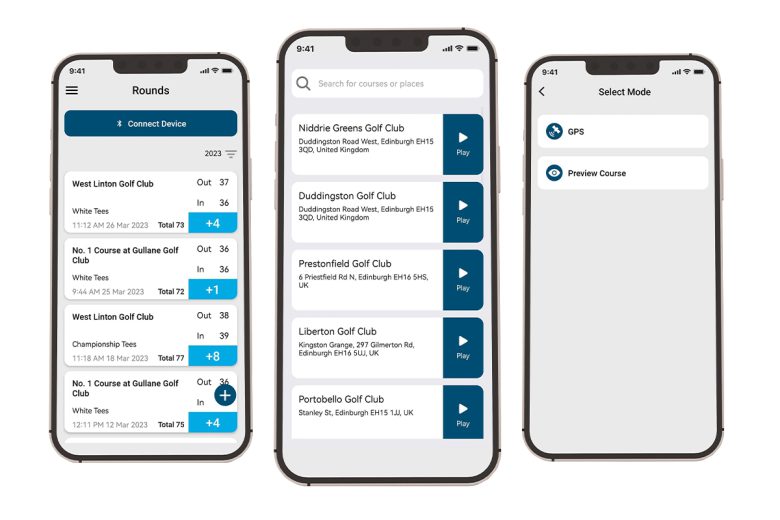
1 – Open the Shot Scope app (ensure you have the latest app version: iOS 3.0.4 or Android 4.0.3)
2 – Press the ‘+’ icon shown on the rounds page
3 – Choose GPS mode if you are at the course, or Preview mode if you are just planning out a round
4 – Search for your course
With aerial maps, blind holes are no longer an issue as you can see every hazard at the tip of your finger. The addition of maps are especially useful if you are playing an unfamiliar course and want to figure out the ‘lay of the land’.
Whether you are a laser rangefinder user, GPS watch user or use any other Shot Scope product, you can access the aerial maps and GPS distances by using your phone.
The future of golf is powered by Shot Scope.