How does Shot Scope map courses to give golfers exact distances when they are playing golf and what happens when a course changes? Find out below.
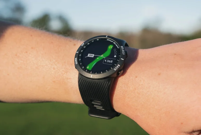
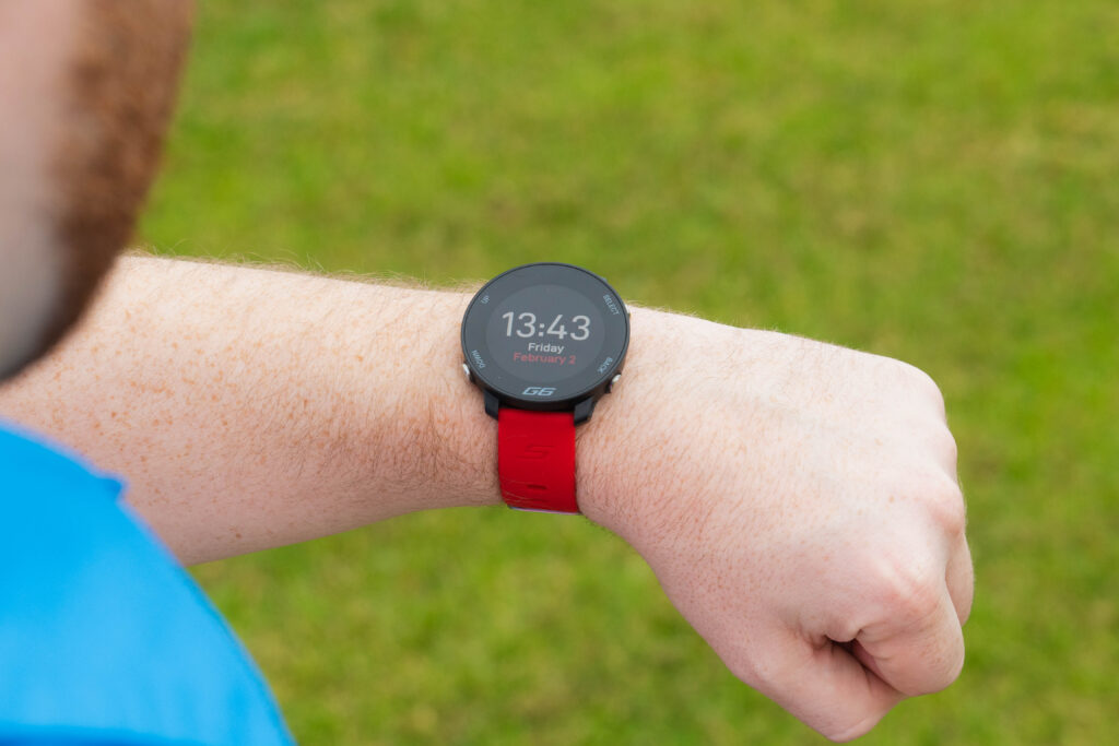
GPS rangefinders provide instant and highly accurate distance information directly to the golfer’s wrist. This allows the user to strategically plan each shot before it is struck – taking into account hazards, hole shape and the distance to the front/middle/back of the green to select the most suitable club for every situation.
While this technology can sometimes feel a bit like magic, behind the scenes lots of hard work goes into making this seamless service possible (and reliable). Keep reading to discover how companies like Shot Scope are able to create and maintain vast libraries of course data, as well as the many challenges behind the process of golf course mapping.
What is golf course mapping?
Golf course mapping is simply the process of digitally recording all the features which make every golf course unique. Traditionally, this would involve a team of mappers physically venturing out on to every course and laboriously walking to each key point to record distance data.
Although physical mapping methods do tend to produce accurate results, they are seriously time consuming and can result in outdated information – due to the fact the mappers must travel to courses which might be in a different country just to create a map.
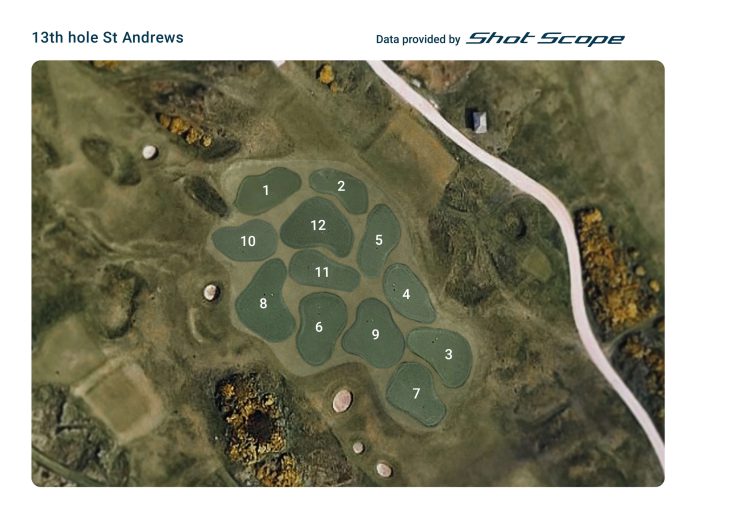
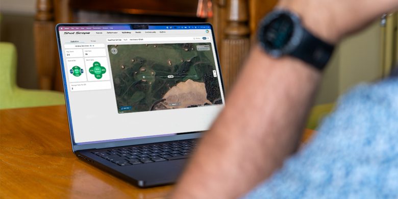
That’s why Shot Scope does things a little bit differently. Utilising extremely accurate satellite imagery, Shot Scope’s team of in-house expert golfers can painstakingly dissect and analyse any course in the world without having to ever set foot on a tee-box. This is achieved by plotting hundreds of individual data points around fairways, hazards and greens to achieve a comprehensive bird’s-eye-view of the course being mapped.
Not only does this virtual method of analysis drastically streamline the mapping process, but it also allows Shot Scope to update any course changes – such as the relocation of a bunker – in under 48 hours.
With a library of over 36,000 courses worldwide, it’s unlikely that your local 18-holer won’t already be on Shot Scope’s database. However, the agility which satellite mapping affords, means that a new course can be added far more quickly and efficiently than in-person mapping would allow.
How long does it take to map a golf course?
With physical mapping it can take up to 9 hours to walk and record every feature of a new course, but thanks to the highly efficient satellite process, Shot Scope can create a new map in a fraction of that time.
Depending on the complexity of the course itself (the number of hazards and the shape of each hole) a Shot Scope map can take between 20 minutes and 2 hours to complete.
Why is Shot Scope’s course mapping better than competitors?
As well superior update and course addition times compared to companies who don’t own their own mapping library, Shot Scope maps benefit from dynamic yardages.
In essence, this means that the distances provided by Shot Scope’s GPS rangefinders – such as V3 – actually consider the angle which you are approaching the green from to provide a more accurate reflection of how far you need to hit the ball.
What’s more, as Shot Scope owns its own extensive mapping library, it can offer these invaluable golfing aids free for life. Long gone are the days where you need to pay up to £30 a month just to maintain your rangefinder’s functionality.
To find out more about course mapping and to get answers to the most frequently asked mapping related questions, visit our support website. Or, if you are interested in discovering how a rangefinder could help you to level-up your game, why not browse our expansive range of GPS watches and laser rangefinders with performance tracking?
